
Ittoqqortoormiit (East Greenlandic: [itːɔqːɔtːɔːmːiːt]; West Greenlandic: Illoqqortoormiut [iɬːɔqːɔtːɔːmːiut]), formerly known as Scoresbysund, is a settlement in the Sermersooq municipality in eastern Greenland. Its population was 345 as of 2020, and it has been described as one of the most remote settlements on Earth.[1][2]
| IttoqqortoormiitIlloqqortoormiut (West Greenlandic) Scoresbysund (Danish) | |
|---|---|
| Ittoqqortoormiit | |
| FlagCoat of arms | |
| Coordinates: 70°29′07″N 21°58′00″W | |
| State | |
| Constituent country | |
| Municipality | Sermersooq |
| Founded | 1925 |
| Population (2020) | |
| • Total | 345[1] |
| Time zone | UTC-01 |
| • Summer (DST) | UTC |
| Postal code | I3980 |
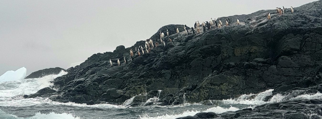
The former name Scoresbysund derives from the English Arctic explorer and whaler William Scoresby, who was the first European to map the area in 1822. The name “Ittoqqortoormiit” means “Big-House Dwellers” in the Eastern Greenlandic dialect. The region is known for its wildlife, including polar bears, muskoxen, and seals.

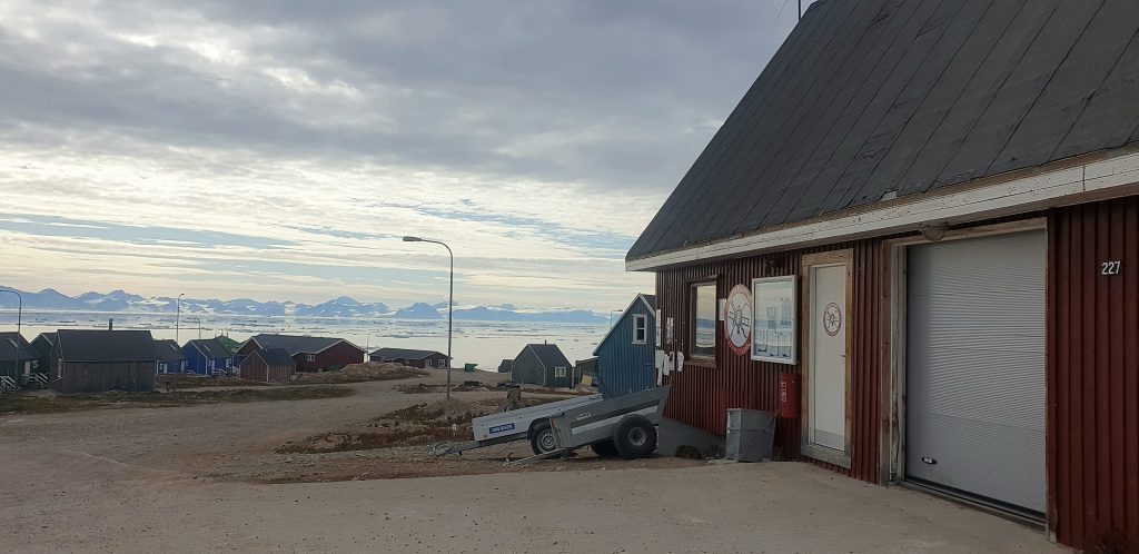
Ittoqqortoormiit, Greenland